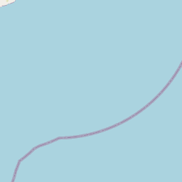
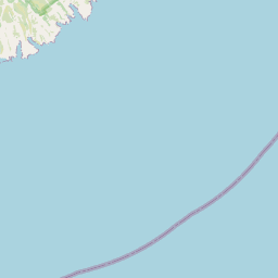
Drayton Reserve consists of a popular track that rises from McCormacks Bay to Mount Pleasant Road.

| Start | First hairpin on Glenstrae Road, Mount Pleasant |
| Finish | Craigieburn Lane, Mount Pleasant |
| Distance | 30 minutes one way |
| Time | 1.1 km |
| Dogs | Under effective control |
| Description |
Enter the reserve from near the first hairpin bend on Glenstrae Road. The track rises gently through the reserve with many additional branch tracks connecting to nearby roads and properties. There are ongoing efforts to re-forest Drayton Reserve and you will spot many new totara, ngaio and kanuka plantings as well as a number of native birds such as silver eyes, grey warbler, fantails and bellbird. The track finishes with a zig-zag incline up to Mount Pleasant Road. Get ready for this track using Plan My Walk(external link) by the NZ Mountain Safety Council. You can find track alerts, weather forecasts, trip reviews and a packing list, so you are set for your adventure. |


10 km
Walking tracks
Shared use
Connecting tracks
Closed

Parking

Bus stop

Toilets
Water fountains
Accessible tracks

Challenging feature

Entry and exit point

Point of interest
Terms of Use | Feedback | Copyright information | Leaflet | Tiles OpenStreetMap, Data: Christchurch City Council
Walking tracks
Shared use
Connecting tracks
Closed
Parking
Bus stop
Toilets
Water fountains
Accessible tracks
Challenging feature
Entry and exit point
Point of interest
